Cedar River Corridor Planning
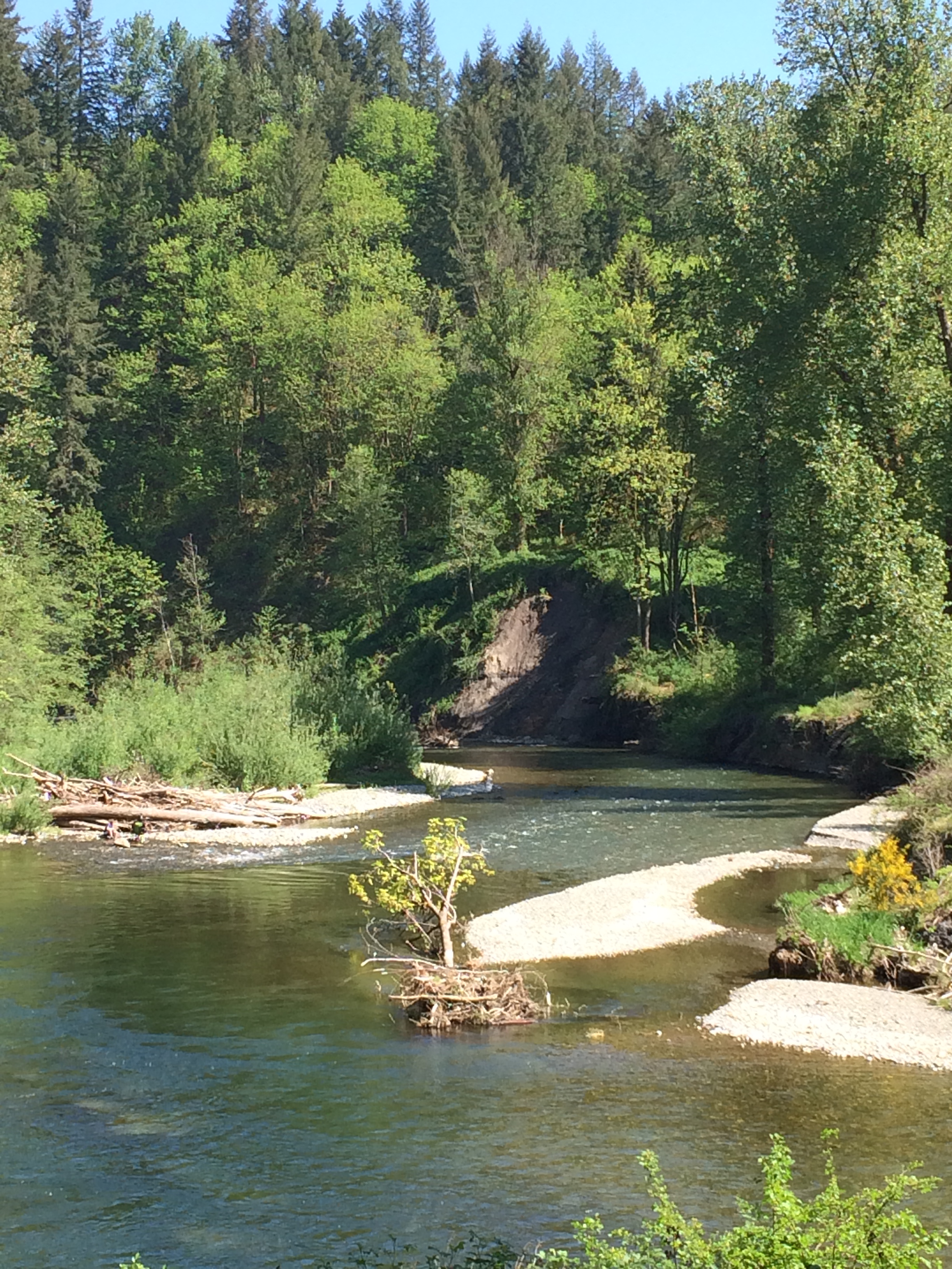
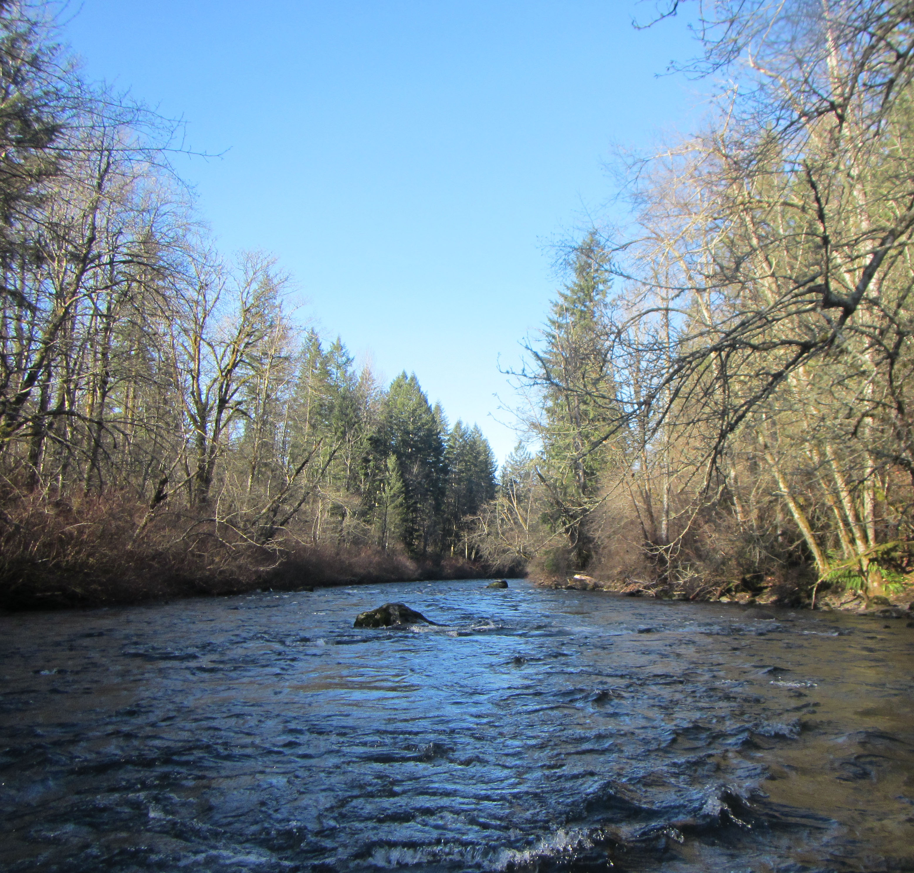
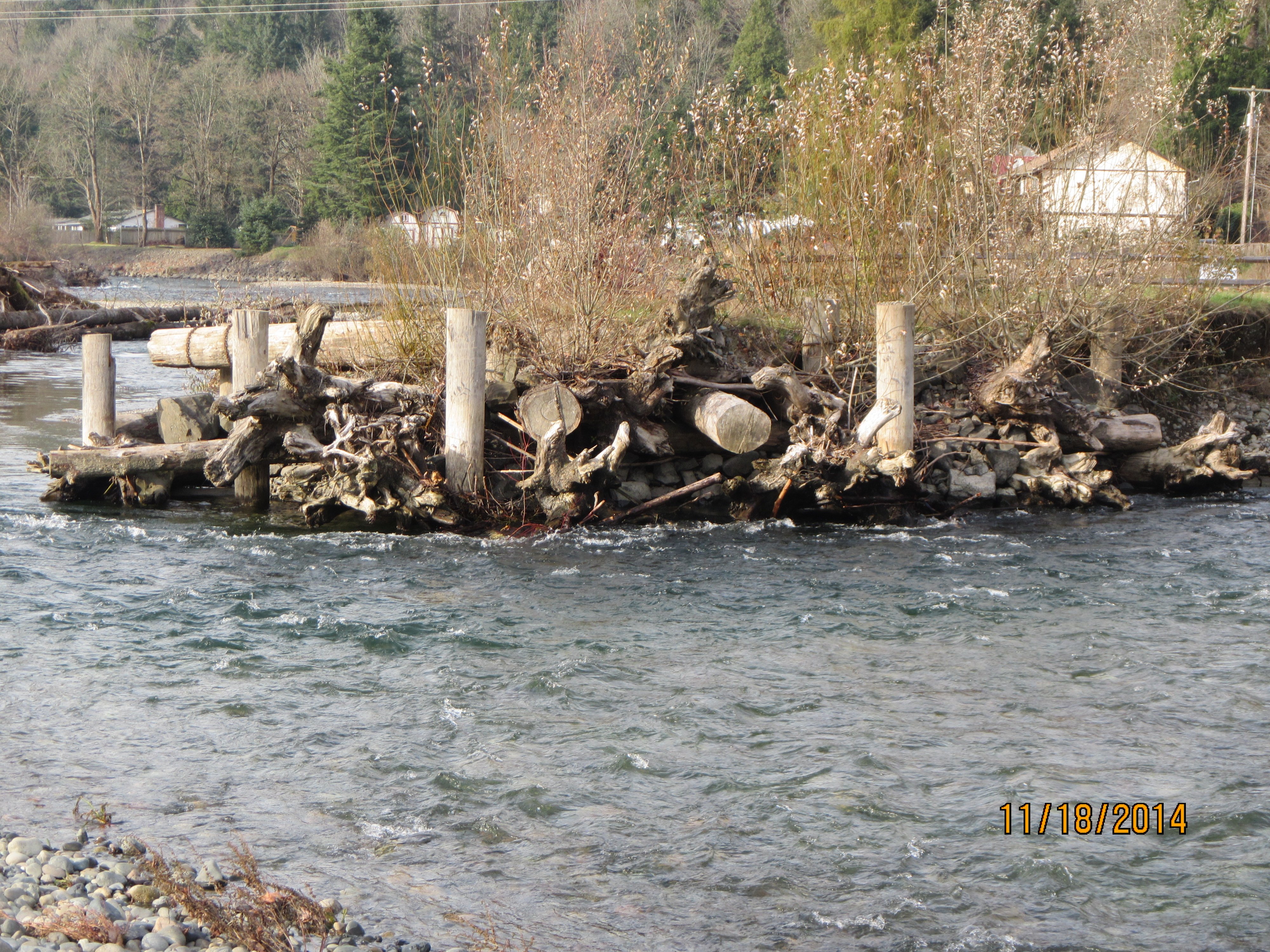
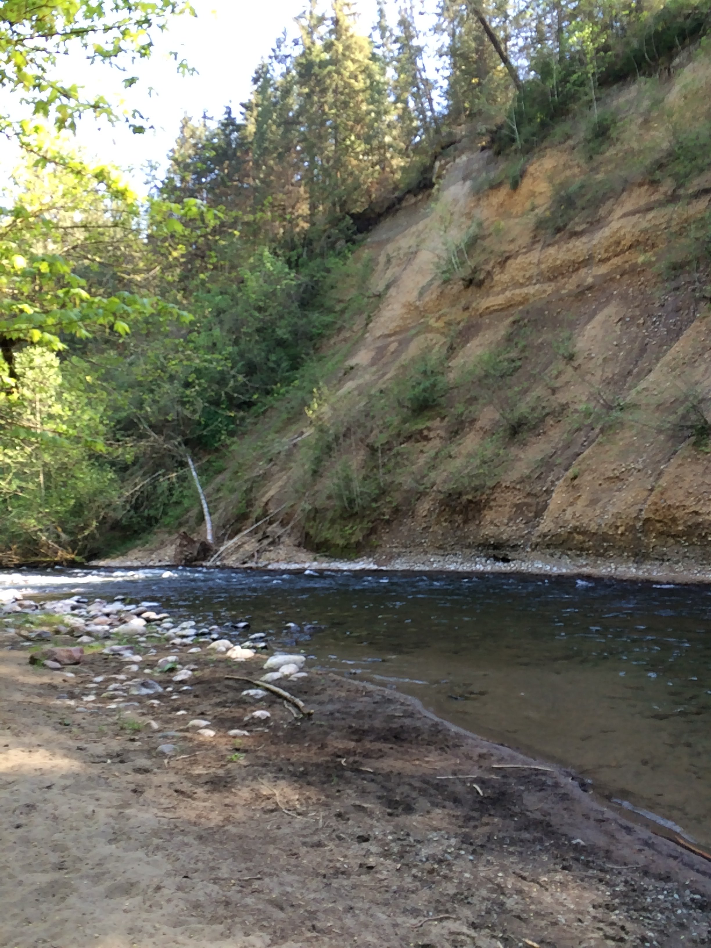
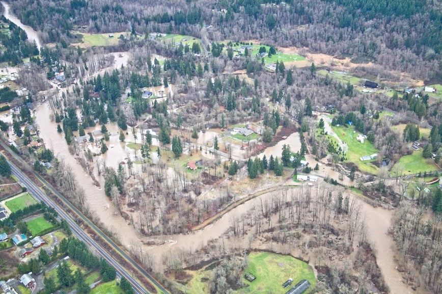
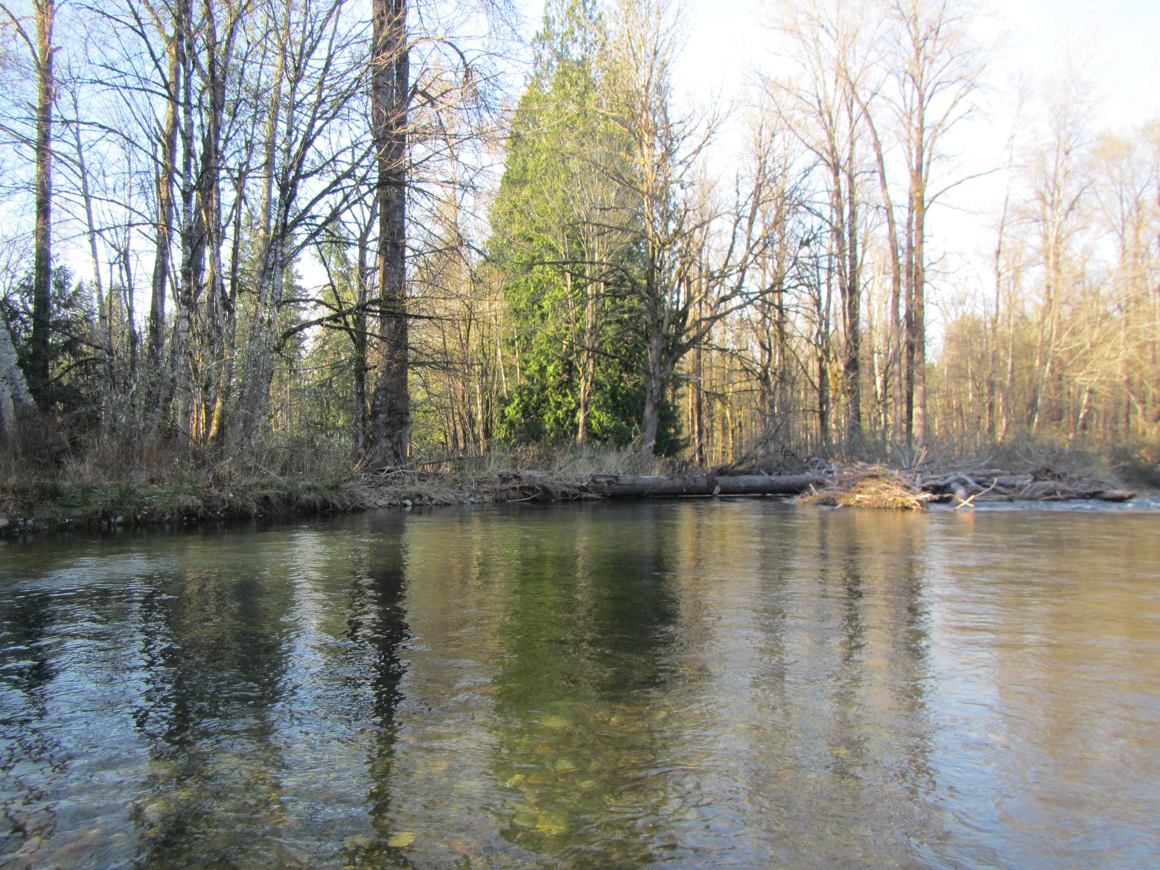
Chronic, widespread flooding occurs in many areas along the Cedar River from its mouth at Lake Washington to more than 20 miles upstream. Herrera led a collaborative, multidisciplinary planning process for the river corridor with input from biologists, engineers, geomorphologists, land use planners, hydraulic modelers, stakeholder outreach specialists, and recreation experts. We synthesized existing information to fully characterize existing conditions with respect to flooding, channel migration and bank erosion, aquatic and riparian habitat, and human uses and services, then used the results, along with GIS modeling, to determine high-priority areas for future river and floodplain management. We worked with King County staff to identify potential solutions for the higher priority areas and prepared conceptual designs and cost estimates for a variety of future actions. The result is a capital investment strategy, vetted by a project advisory committee representing interests in all the land uses and infrastructure at risk in the river valley, that will guide King County’s investments in a variety of actions over 10 years.
