Vegetation and Wildlife Surveys for Bonneville Power I-5 Corridor
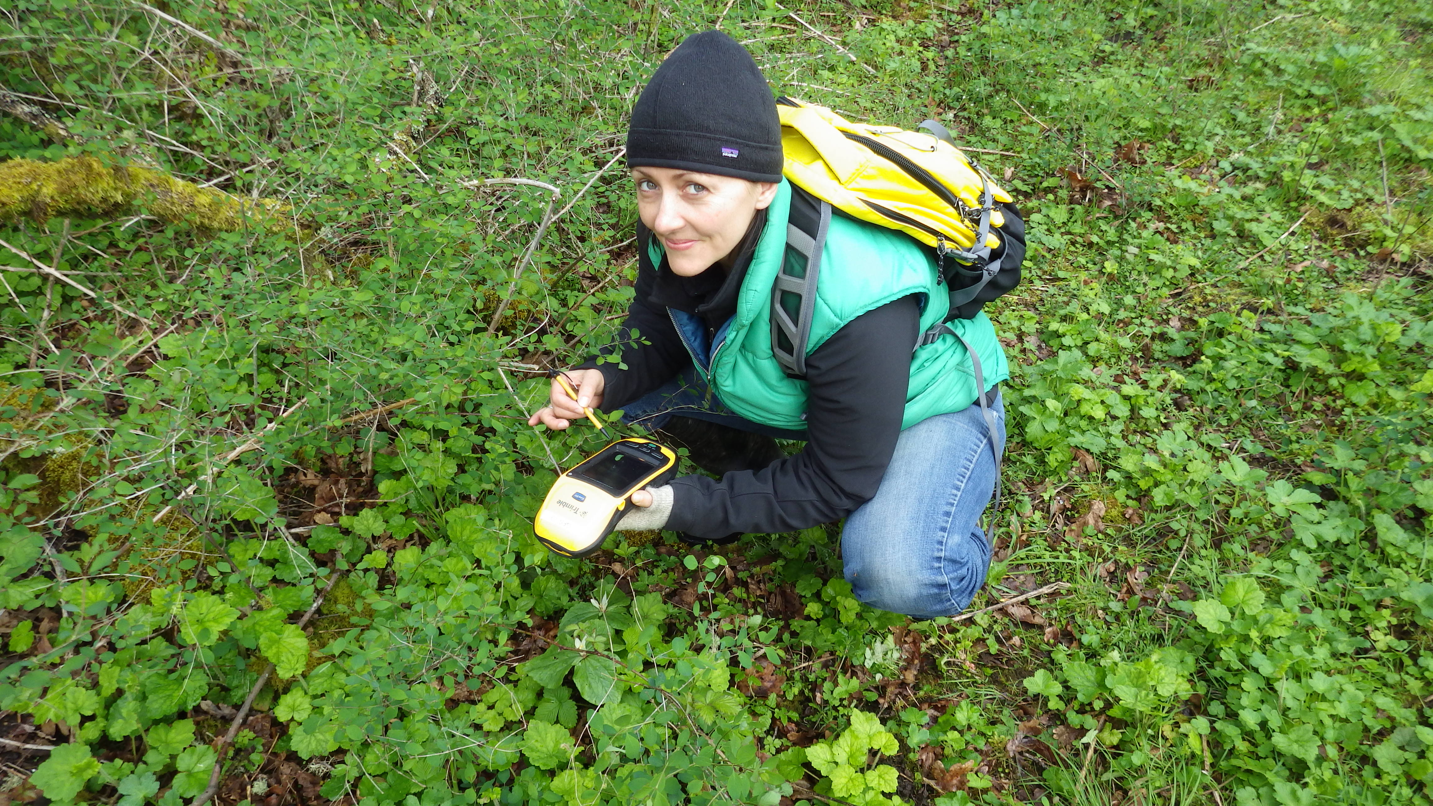
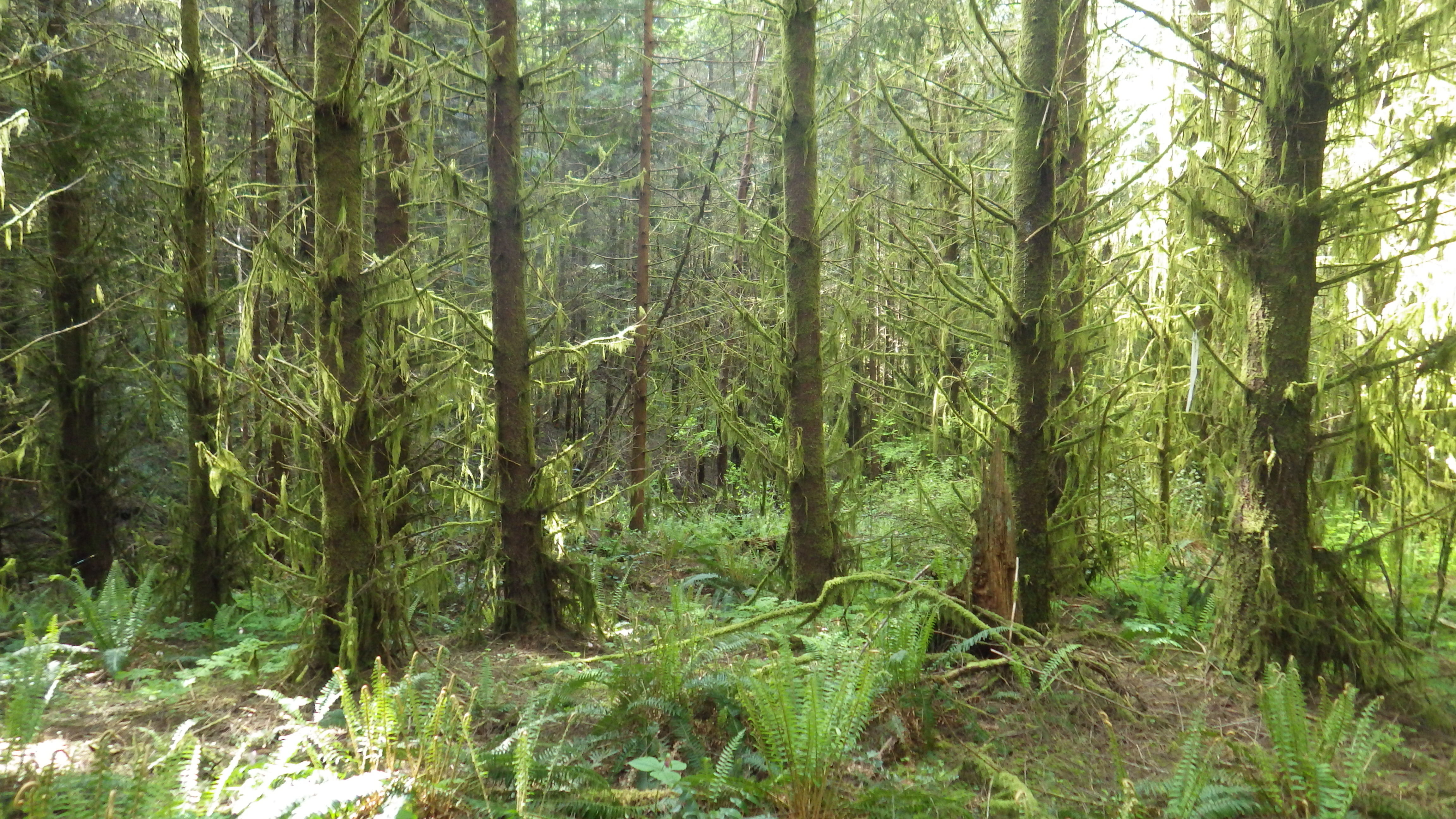
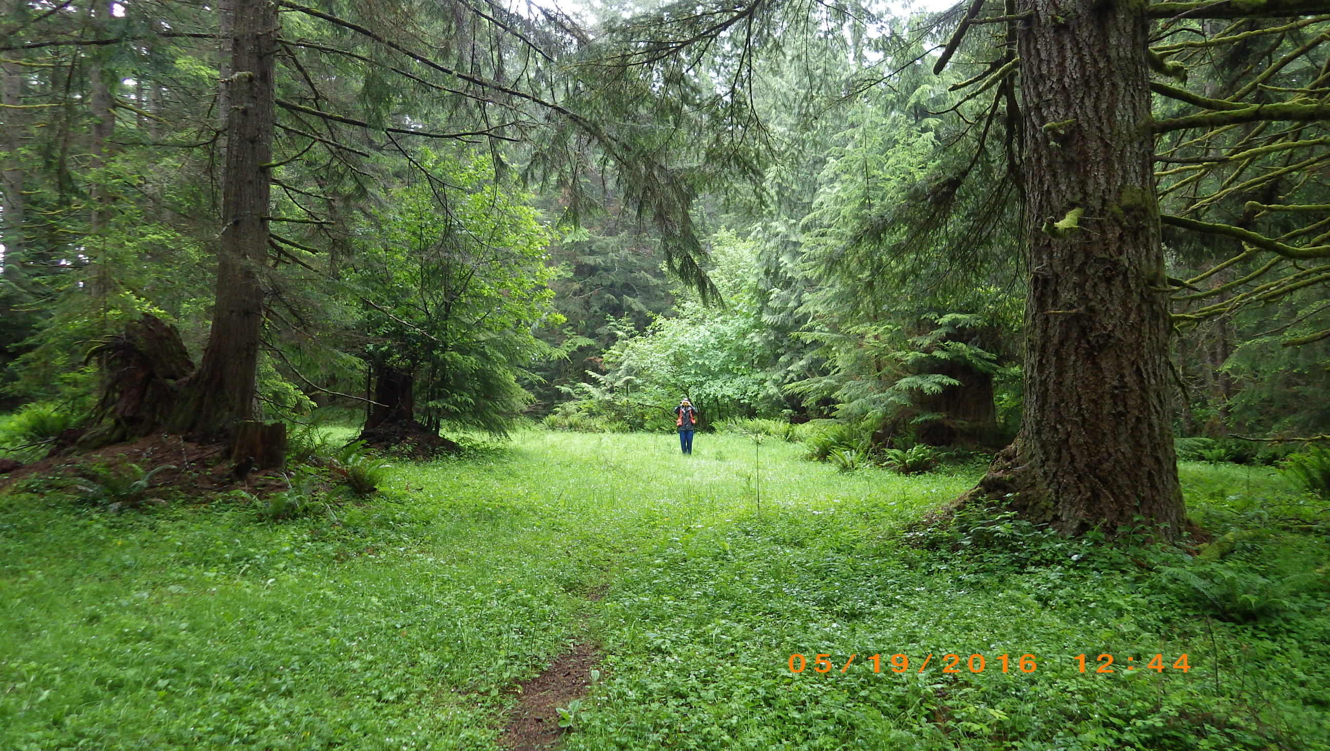
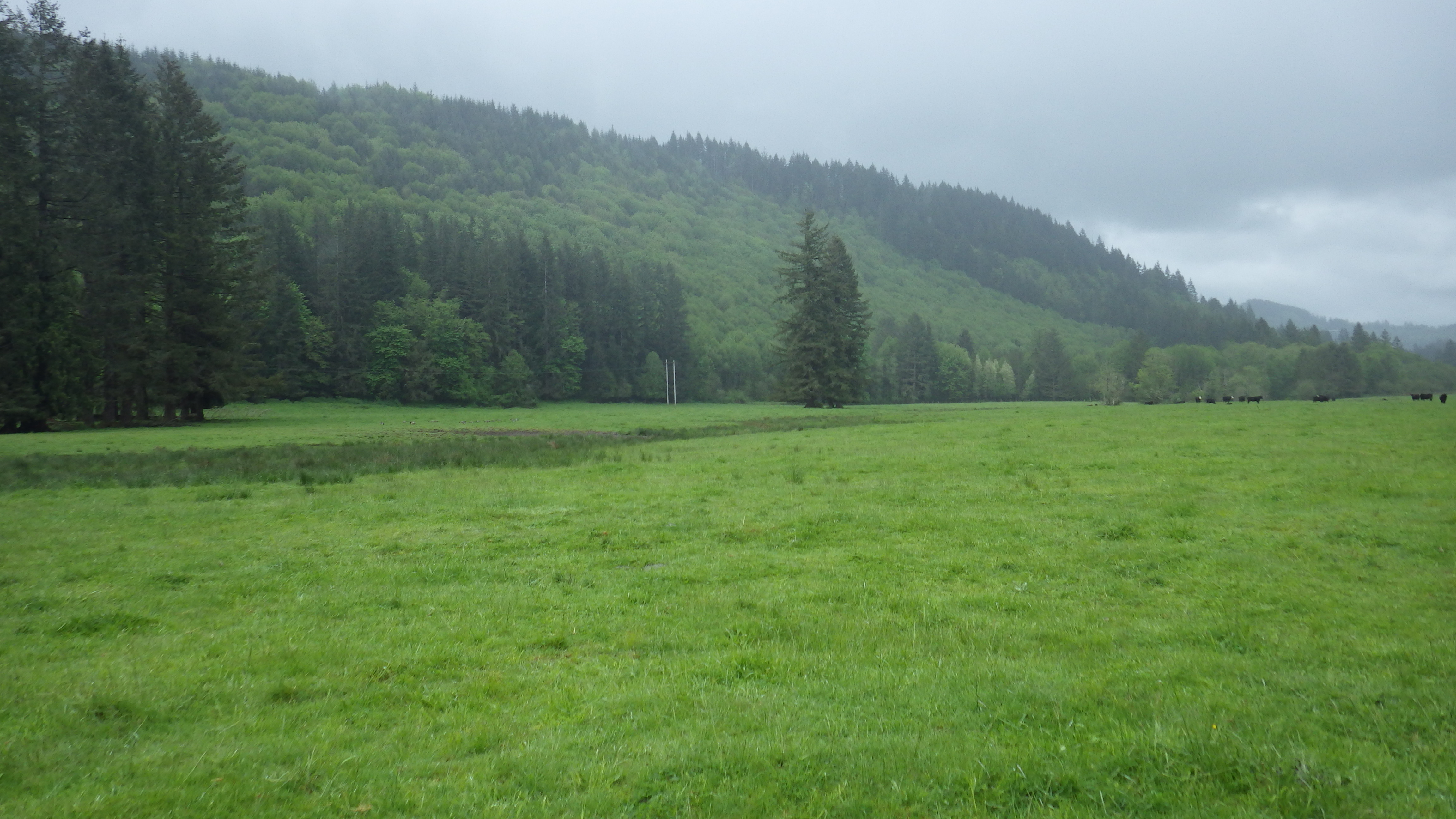
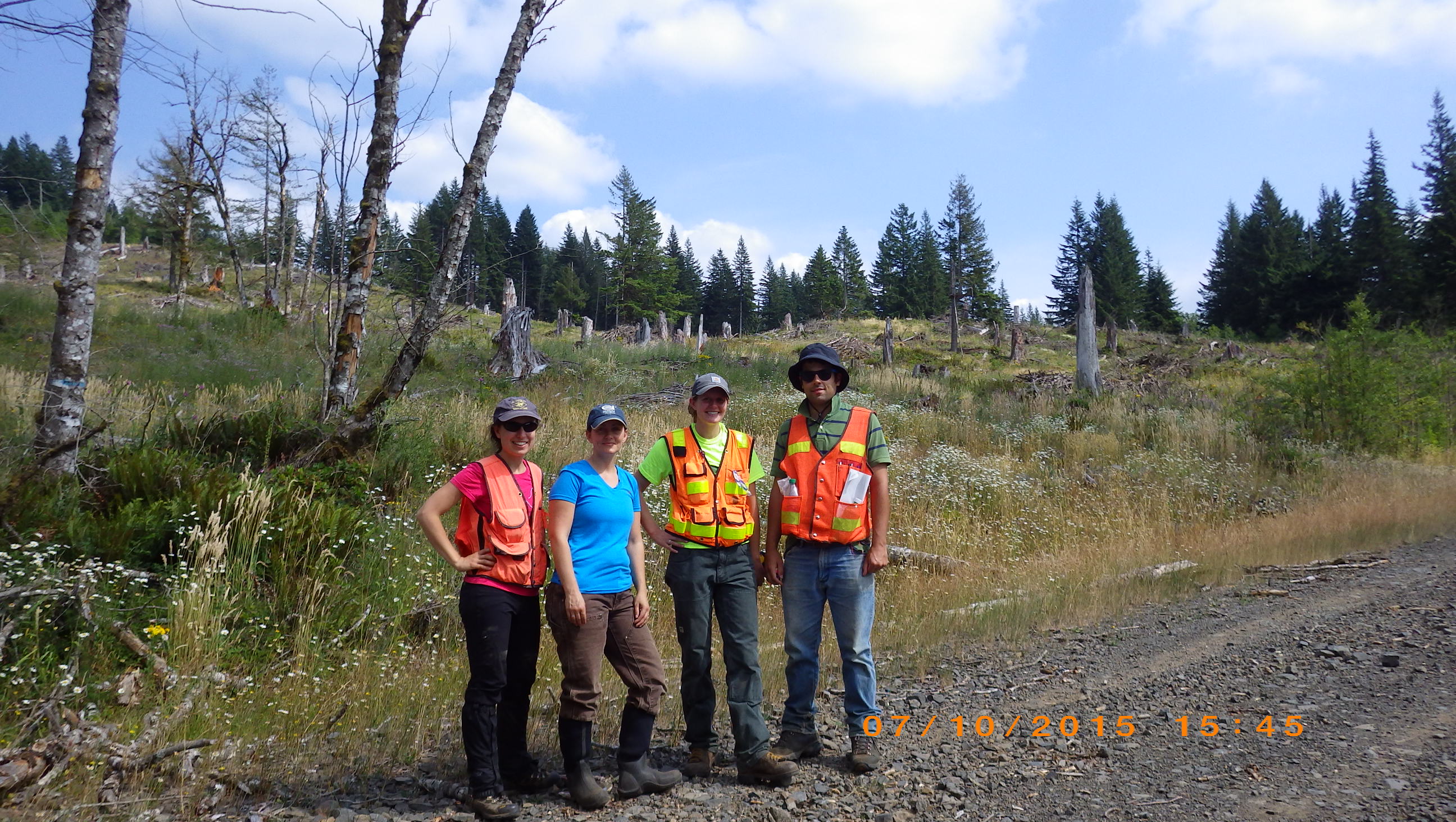
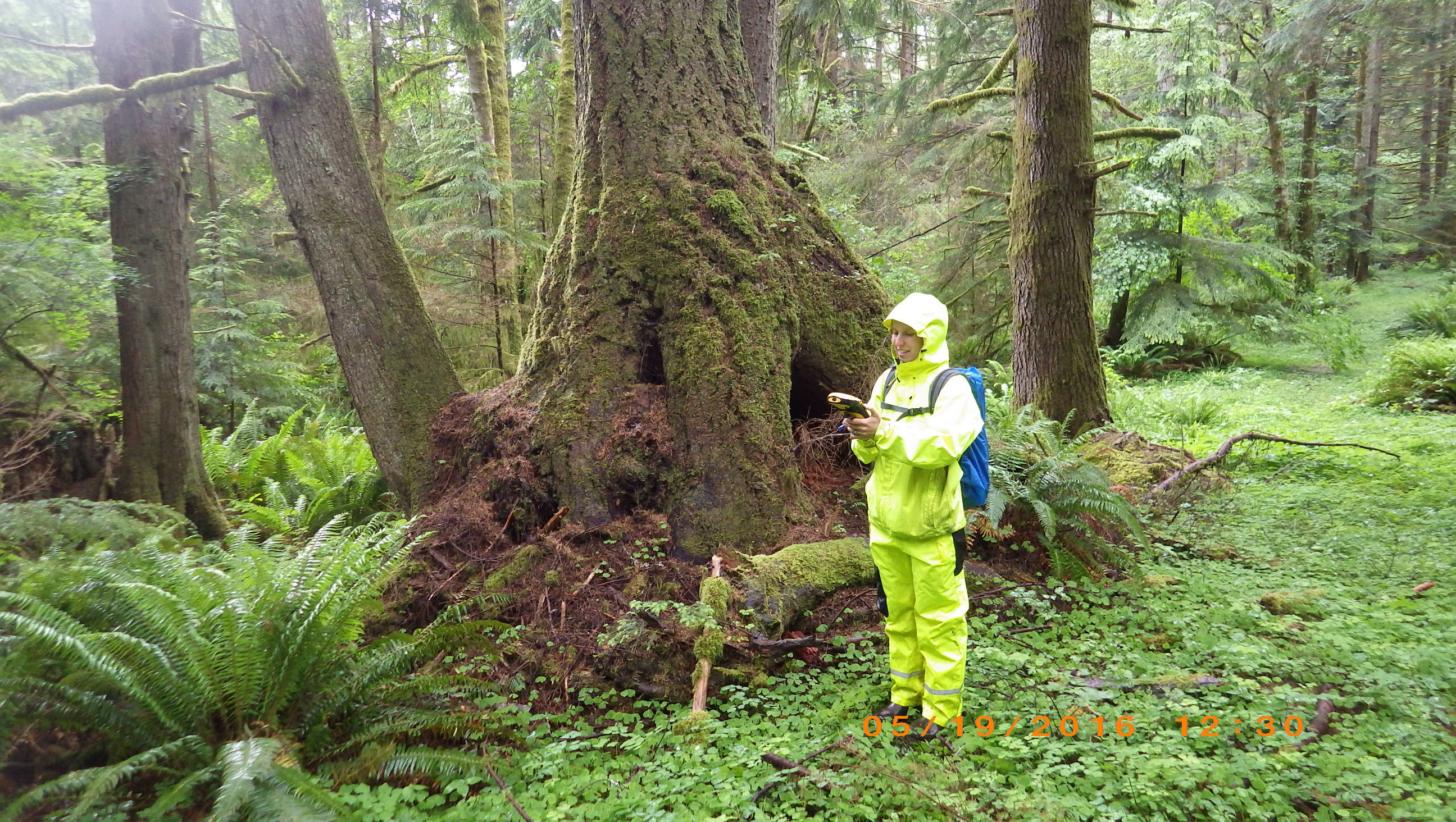
The Bonneville Power Administration proposed to build a new 500-kV transmission line and substations that would run for 80 miles from northwest Oregon into southwest Washington. This was a complicated project that spanned two states and encompassed over 100,000 acres of assessment area. Field-verifying conditions for the entire area was not possible, so we relied heavily on GIS to efficiently analyze vegetation, wildlife habitat, streams, and wetlands from our desktops and prioritize field efforts. This included a project-wide remote sensing analysis and predictive modeling of wetland distribution, and a comprehensive rating analysis based on these data that was accepted by Ecology and the Corps for initial permit review. The model output was field-verified by scientists and used to determine boundaries for hundreds of previously unmapped wetlands. To meet an aggressive NEPA schedule, we also developed a GIS-based classification system to identify land cover types based primarily on aerial photography and topography interpretation. These land cover types were then used along with available data from state agencies to identify potential hotspots for rare plant and animal species that was accepted as sufficient for NEPA compliance.
