Herrera uses unmanned aerial systems (UAS), also referred to as drones, to help clients obtain aerial imagery and video of project sites for precise and repeatable data collection. Herrera’s licensed UAS pilots use this technology during all phases of project development, from initial project planning to final as-constructed site documentation and monitoring. Our firm’s UAS data collection and management solutions include aerial video, aerial photography, vegetation monitoring, habitat assessments, topographic surveys, orthomosaics, and construction volume surveys. Through this data, project managers and clients can better assess site conditions for improved project implementation.
Our drone team members are licensed under the FAA’s Small UAS Rule (Part 107), allowing them to fly at night, over people, and over moving vehicles without a waiver as long as other requirements are met. Herrera has added three new commercial UAS pilots to our Seattle and Portland offices in 2023 and looks forward to growing our roster of certified drone pilots in our Seattle, Missoula, and Wyoming locations throughout the year. Read on to learn about Herrera’s applications of UAS in the field and meet our pilots below!
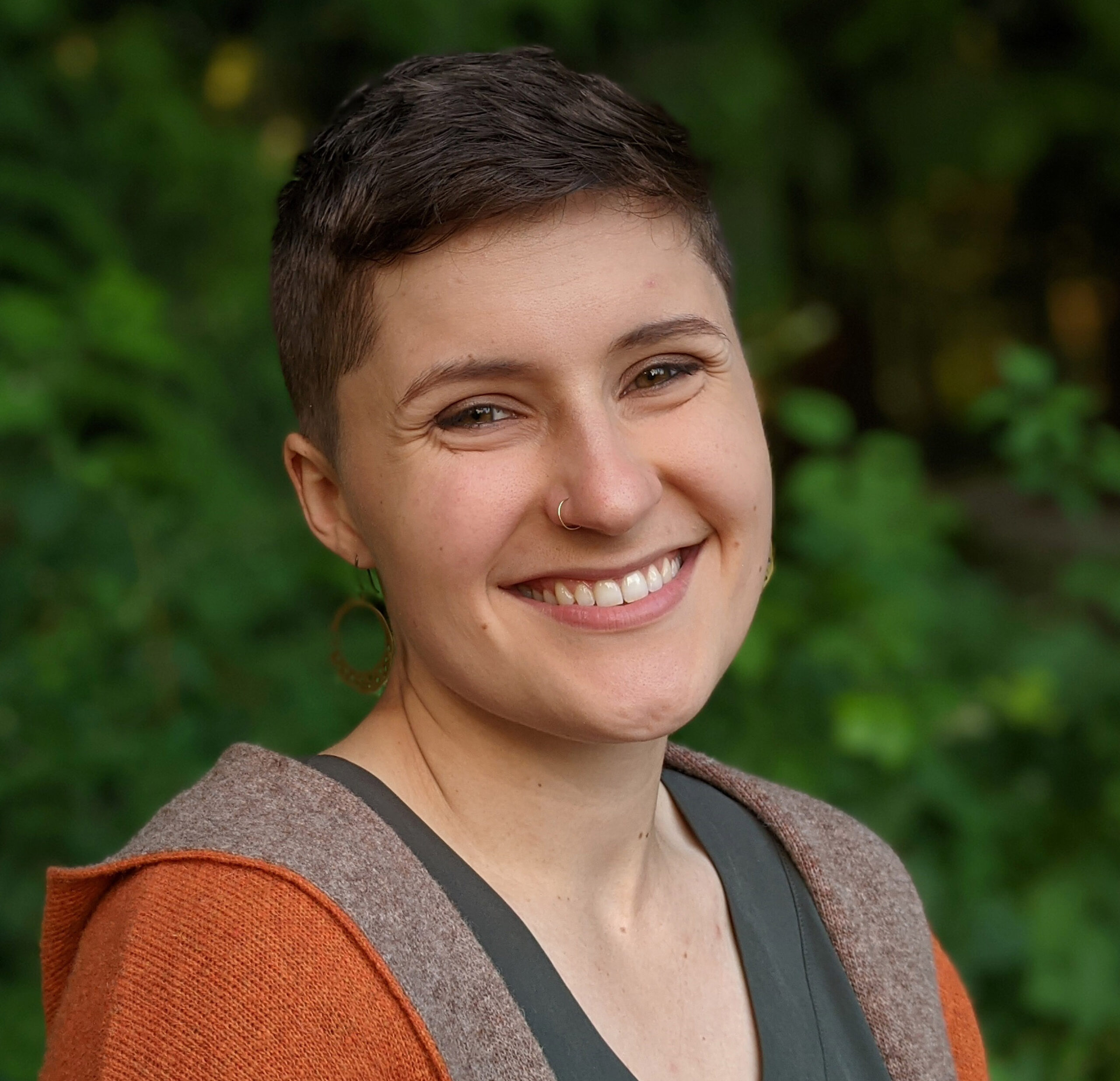
Lauren Ode-Giles- Lauren is a GIS analyst and environmental scientist based out of Herrera’s Bellingham office. Through her drone-based structure from motion (SfM) 3-D modeling expertise, knowledge of Pacific Northwest biota, and understanding of nearshore processes, Lauren develops multifaceted records of site characteristics that are used to inform management recommendations. She has been a licensed commercial drone pilot since 2018 and has flown more than 40 sites across Washington and Oregon.
Matt Fidler- Matt is an environmental engineer based out of Herrera’s Missoula office. He obtained his Remote Pilot Certificate in 2019 while working on a pilot study that used drones to sample and quantify fugitive methane emissions in the oil and gas sector. Matt continues to fly drones to capture aerial photos and videos of a wide range of project sites.
Favorite Project: Shirley Basin Uranium Waste Pile Reclamation
“My favorite site to fly the drone was the 400 pile in Wyoming because it was so wide open with no trees, people, or obstacles to worry about!”- Matt Fidler

Andy Siegel- Andy is a GIS analyst based out of Herrera’s Seattle office. As of this year, Andy is a certified remote pilot under the FAA’s Small UAS Rule (Part 107) and is continuing to gain field experience capturing imagery for projects across Washington. So far, he has flown two project sites: capturing photos and videos for the river re-channelization at Downey Farmstead in Kent, WA and gathering aerial imagery at the Bainbridge Island Native Food Forest Stormwater Park for GIS modeling.

Rebecca Stebbing- Rebecca is a GIS analyst who is a certified Remote Pilot under the FAA’s Small UAS Rule (Part 107). With her background in geospatial science, Rebecca’s drone experience allows her to capture imagery that can be used for in-depth spatial analysis.
Favorite Project: Swift Creek Sediment Management Action Plan Implementation
“Using a drone allows us to get a better view of the slide and appreciate the sheer amount of sediment being moved, allowing us to visualize the ongoing mitigation efforts as they develop.”- Rebecca Stebbing

Sam Nilsson- Sam is an environmental scientist based out of Herrera's Portland office. As a newly licensed RPC, he is continuing to expand his toolkit of drone data collection and analysis. Using his experience with stormwater treatment and field monitoring, Sam provides thorough and meaningful aerial images to aide clients in evaluating feasibility/planning of stormwater treatment installations.
Taylor Cross- Taylor Cross is an engineer based out of Herrera’s Missoula office. She obtained her commercial UAV license in 2017 and has experience capturing orthomosaic photos for revegetation efforts and non-survey grade topographic mapping for reclamation designs.
Favorite Project: Troy Mine Reclamation
“My favorite drone flight so far has been the revegetation orthomosaic of Troy Mine because we’ll be able to visually see patterns related to growth and where revegetation is struggling.”- Taylor Cross