Connecting Communities in the Duwamish Greenbelt
By bitsadmin
Spanning over 550 acres, the West Duwamish Greenbelt remains the largest contiguous forest in Seattle, consisting of several informal trails and paths for community and recreational use. Designated as a Biodiversity Area and Corridor by the Washington Department of Fish and Wildlife (WDFW), the Greenbelt remains a priority for conservation and management.
In 2020, Herrera partnered with Aspect Consulting to conduct a feasibility analysis for Duwamish Tribal Services to inform the design, permitting, and adoption of a formal trail system to replace an ad hoc network of informal trails. The Ridge to River Trail would provide a safe and durable loop trail to link South Seattle College and Pathfinder K-8 School; to the lower Duwamish Valley, including Herrings House Park, Ha Ha Poos (previously known as T107 Park), and the Duwamish Longhouse and Cultural Center. The proposed location of this trail presents several opportunities and some challenges, winding through densely wooded wildlife habitat, crossing wetlands and stream channels, traversing steep slopes, while also encountering cement kiln dust (CKD) deposits and landslide hazard areas. CKD is produced by kilns used in cement manufacturing. These fine particles contain hazardous substances, such as heavy metals, posing health risks to humans and the environment.
Project Approach
In 2021, Herrera and Aspect began reviewing the preliminary trail alignment, providing civil engineering, stormwater management, and environmental critical areas review as well as overseeing the geotechnical support as part of the analysis. Based off the team’s geotechnical findings and critical areas analysis and review, the team developed alternative trail segments to minimize impacts on environmentally critical areas, CKD deposits, and geologically hazardous areas. We also identified those segments that do not meet ADA, WSDOT, and Seattle Parks standards. Results from the geologic hazards and natural resource field assessments were used to create an overlay map, visualizing existing formal trails, informal trails, and proposed alternative trail routes.
Geotechnical Findings
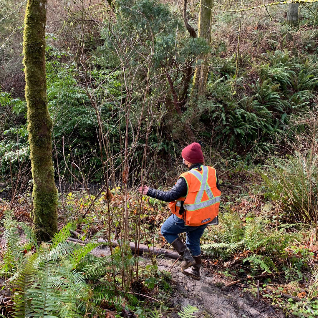
In addition to a desktop review of data obtained from the Duwamish Tribe, City of Seattle, and publicly available sources, The Herrera/Aspect team evaluated potential geotechnical, environmental, and geological hazard concerns were based off observations made during a site reconnaissance. In February 2021, our team conducted the site reconnaissance at established and existing informal upland walking trail segments located in the West Duwamish Greenbelt, north of the South Seattle College campuses. Results of the reconnaissance confirmed the presence of the City of Seattle’s potential landslide areas and Washington Department of Natural Resources landslide mapping. With this, scientists concluded that trail development may impact localized unstable areas, while existing informal trail segments would have little impact on the global stability of the North, South, or West Potential Landslide Areas.
While scouting the site, scientists came across extensive ditching, limited crushed rock surfacing, and trail conditions impacted by drainage across the trail surface. Approaches to mitigating and managing drainage as well as avoiding concentrating surface runoff were documented, along with opportunities to implement trail drainage best practices such as installing regularly spaced water bars, rolling rocked dips, minor regrading, and out-sloping of the trail.
Cement Kiln Dust (CKD)
After reviewing environmental documents and reports, the team discovered in-place cement kiln dust (CKD) or areas where in-place CKD is suspected in seven of the existing informal trail segment areas. The team identified potential exposure pathways for trail construction/maintenance workers and recreational trail users through direct contact with exposed CKD, direct contact with soil containing CKD, and/or direct contact with exposed seepage affected by CKD. With this, recommendations were provided to reduce or eliminate exposure risk through an environmental management plan outlining a CKD response plan for the trail construction team, so that CKD presence did not exclude a particular trail segment from use.
Natural Resources and Stormwater Regulations
To identify data gaps and inform field investigations, the team conducted a desktop analysis to review existing site information for fish and wildlife habitat conservation areas (FWHCAs), streams, wetlands, vegetation cover, and habitat. Following its completion, Herrera conducted a field assessment of the trail alignment to characterize vegetation communities and identify areas with the potential for stream and wetland conditions. Investigated areas include a series of heavily trafficked informal trails south of the study area.
From this field assessment, biologists identified a mix of wetland mosaic and riparian forest vegetation surrounding the trail. A series of streams including Puget Creek, Puget Tributary A, and an unnamed tributary cross the trail area, providing habitat for several salmonoid species. Scientists also discovered several seasonal streams, along with potential wetland areas. Herrera’s team of engineers reviewed the 2017 City of Seattle Stormwater Manual to determine applicable stormwater regulations and requirements for compliance, determining the need for a comprehensive drainage review. The final trail alignment was also reviewed to determine the feasibility of implementing the best management practices on the list in the Seattle Municipal Code.
Trail Alignment Recommendations
For the proposed trails that are located adjacent to or within wetlands and streams, our team presented mitigation alternatives to improve environmentally critical areas and buffers. Options include re-aligning trails outside of wetlands, FWHCAs, and buffers, adding a boardwalk or raised surface over these areas to eliminate impacts of foot traffic, and building a trail with a culvert system to maintain hydrologic connections. Additionally, Herrera provided recommendations to stabilize trails with steep terrain. One option includes adding wood, wood and gravel, or a stair system in steep areas to promote easier navigation. Herrera’s second mitigation alternative consists of re-aligning trails in areas with deep slopes, reducing risk and decreasing erosion, while also minimizing construction implementation costs. Additional analysis, design, and planning will continue before formalizing the final trail system design.
Herrera is honored to work with the Duwamish Tribe and support their stewardship of the land on this rich and complex site. We look forward to helping them progress the project to completion to enhance ecosystem functions, provide safe and durable pedestrian connections, and allow the community access to this unique piece of land. Improving local ecology and supporting communities through science and design remains a hallmark of Herrera’s ethos that we carry on through this project and for years to come.


Posted In:
Environmental, Habitat, Landscape Architecture, Restoration, Site Design, Stormwater, Sustainability, Uncategorized, Washington