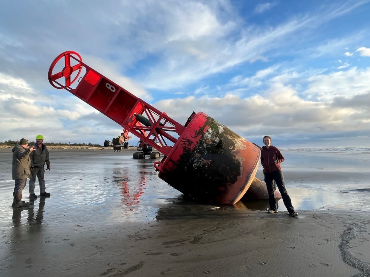
In 2022, Herrera began their sea level rise vulnerability assessment for the Washington State Parks and Recreation Commission (Parks). This work built upon previous Parks efforts, including a Climate Adaptation Plan. The focus of Herrera's work was to identify vulnerabilities and necessary resources for the protection, restoration, and enhancement of marine shoreline park infrastructure in Washington State.
 As 2023 draws to a close, Lauren Ode-Giles, Herrera’s GIS lead on the project reflects on how the project resonated with her. “I count myself as very fortunate to have gotten to be part of a project that will protect some of Washington State’s most beloved places for generations to enjoy.”
Herrera collaborated closely with Parks staff by hosting two workshops to identify and establish guiding principles for the project. They sought input from the staff on the proposed processes and prioritized a list of parks for further research. Additionally, the collaboration resulted in additional goals to aid in the direction of future adaptation work.
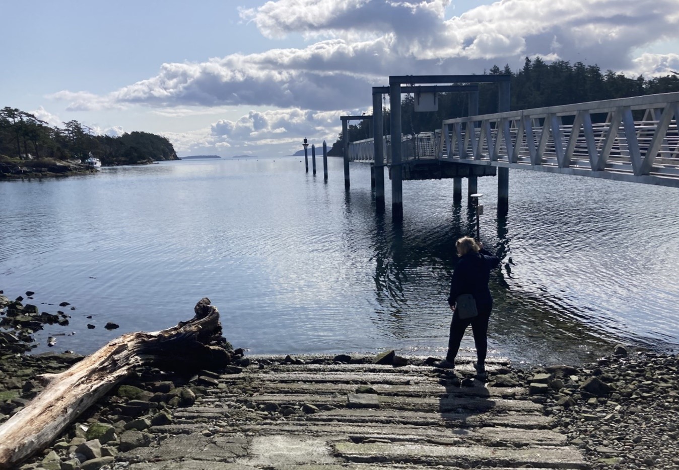
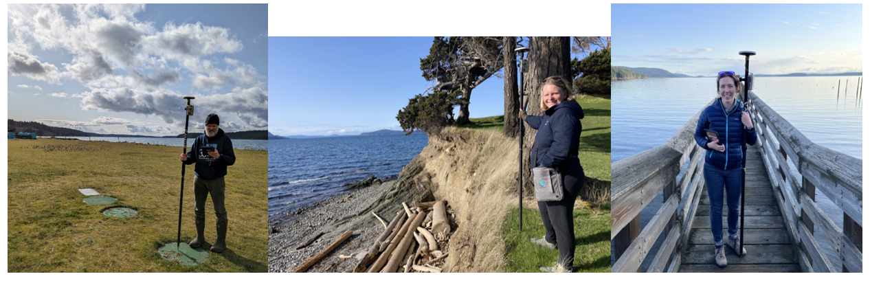
All parks with marine shorelines were then analyzed and existing geospatial data about site conditions that are relevant to climate change-related hazards were compiled, including factors such as wave exposure and the material composition of the shoreline. Using ArcGIS FieldMaps Designer, Lauren’s GIS efforts produced field forms that kept field data organized and consistent. Regardless of which field team assessed their respective parks, the data would be organized from the inception of work.
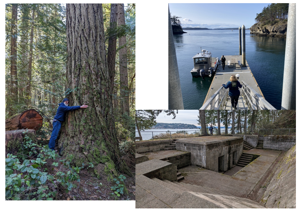
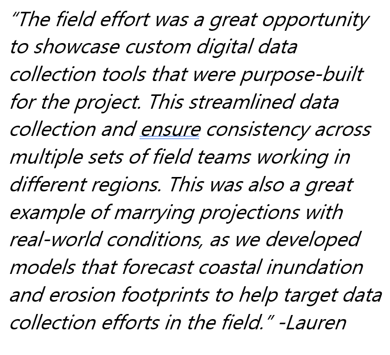
Herrera then developed models to map areas of inundation. These models utilized the latest digital elevation data and projections of relative sea level rise, and aided in informing the project’s planning scope. After mapping areas with Parks infrastructure and identifying overlaps with areas projected to experience flooding, wave run-up, and erosion hazards, Herrera conducted a field inventory of the now-identified more vulnerable parks.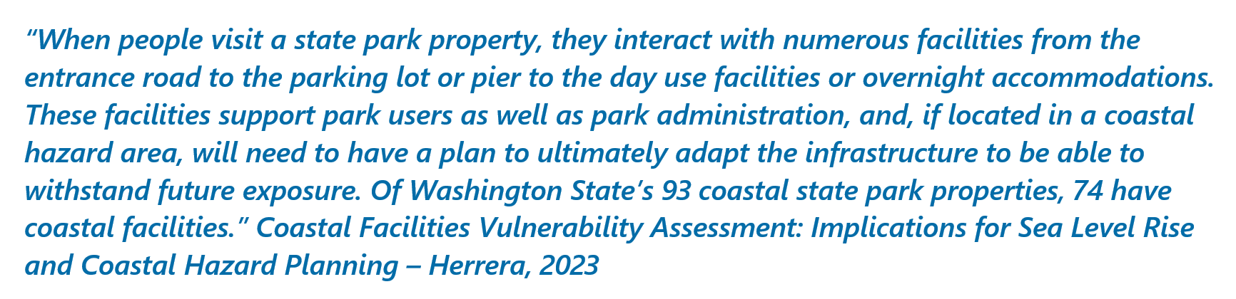
After completing the field data collection, GIS efforts were directed toward merging that field data with the existing information available from Parks. The merged data could then be analyzed for potential future threats from anticipated sea level rise. 
Going forward, a GIS database and a web based StoryMap of the data will be utilized, in conjunction with adaptation opportunities identified by Herrera, to proactively address the impacts of climate change in Washington's coastal parks.